Helping You Navigate and Adopt New Technology
Remote sensing is transforming industries like energy, agriculture, and manufacturing. Could it transform your organization?
At URSIC, we specialize in research and development services that help industry, municipalities and conservation areas unlock the power of remote sensing when used in conjunction with drones, rovers, and uncrewed boats. Our team works closely with organizations to deliver customized solutions that drive better data collection, streamlined workflows, and safer operations. Ready to innovate? Partner with URSIC to explore how remote sensing can elevate your business.
Services
Advanced Inspection Processes
Traditional surveying methods can be slow and costly. With URSIC as your research partner, you can leverage uncrewed systems and advanced sensors—such as LiDAR, multispectral, and thermal imaging—for efficient aerial, ground, and bathymetric surveys. These technologies allow you to collect rapid, cost-effective data, enhancing your asset inspection and monitoring processes, including leveraging digital twins.
New Technology Deployment
Partnering with URSIC accelerates your transition from concept to operational solutions. With our expertise and specialized equipment, we help you generate actionable data for tasks like long-range inspection, resource mapping, and rapid maintenance. This enables you to address challenges using cutting-edge technology that’s been rigorously tested and validated- reducing your risk of innovation.
Testing and Validation
Developing a new product or technology? Leverage URSIC’s expertise to test and deploy your uncrewed and remote sensing hardware or software solutions in both lab and operational settings. Whether it is testing in extreme weather situations or running multiple use cases, we verify its optimal performance, helping you bring your innovations to market with confidence and efficiency while meeting regulatory standards.
What Happens at URSIC
Our focus on applied research means helping you solve problems through the use of new technology. URSIC’s assets include a wide range of industry-leading uncrewed and remotely piloted aircraft systems that offer a wide range of capabilities to serve most industry use cases, including visual line-of-sight (VLOS), and beyond visual line-of-sight operations (BVLOS).
Helping Innovation Take Flight Since 2017
URSIC is the largest research facility in Ontario focused on the integration of remote sensing with uncrewed technologies. Since our founding in 2017, we’ve helped over 70 organizations in the Greater Toronto and Hamilton Area and across Canada harness the power of cutting-edge uncrewed technologies.
Whether it’s drones, terrestrial robots, autonomous boats, or sensors like LiDAR and photogrammetry scanners, we provide the expertise to help you adopt and scale these innovations. We’re also proud to have launched the NSERC-supported Canadian Unmanned and Remote Systems Innovation Network (CURSIN) to support country-wide adoption of this technology.
Industry-Leading Equipment
URSIC is home to Ontario’s largest collection of uncrewed and remote sensing technology dedicated to research and development.
Scanning equipment used by the URSIC team includes:
- DJI Matrice M600, M300, M210
- DJI Agras T10
- Skydio 2+
- DJI Mavic 2 (Enterprise & Zoom), Mavic Pro
- DJI Phantom 4 Pro v2, Phantom 4 Pro
- DJI FPV
- Parrot Anafi
- DJI Mini, Mini 2
- Blue Vigil Tether
- Parachute Recovery Systems: M300, M600
- Full suite of micro drones for training
- Emesent Hovermap (SLAM)
- Phoenix LiDAR Scout 32E
- Leica P20 and Leica BLK 360
- Pix4D viDoc (SLAM)
- UgCS Echo Sounder, a drone-mounted sonar system
- Hydromagic processing software.
Excellence Through Collaboration
We collaborate closely with startups, established companies, and community organizations, offering hands-on solutions to your challenges. By accessing government grants and industry-sponsored projects, we create applied research opportunities that might otherwise seem out of reach.
Solutions That Shape the Future
Confidential Collaboration, Guaranteed
Confidentiality is paramount at URSIC. You retain ownership of your intellectual property, and our team operates as an extension of your team, exploring and testing solutions with a commitment to finding the best fit. See our Commercialization of Intellectual Property Policy Statement.

Ready to Embrace Change?
Book a meeting with the Uncrewed and Remote Sensing Innovation Centre (URSIC) and talk to our experts about your organization or project.
Meet the Team
Matthew Shelley
Tyler Sowden

Andrea Johnson
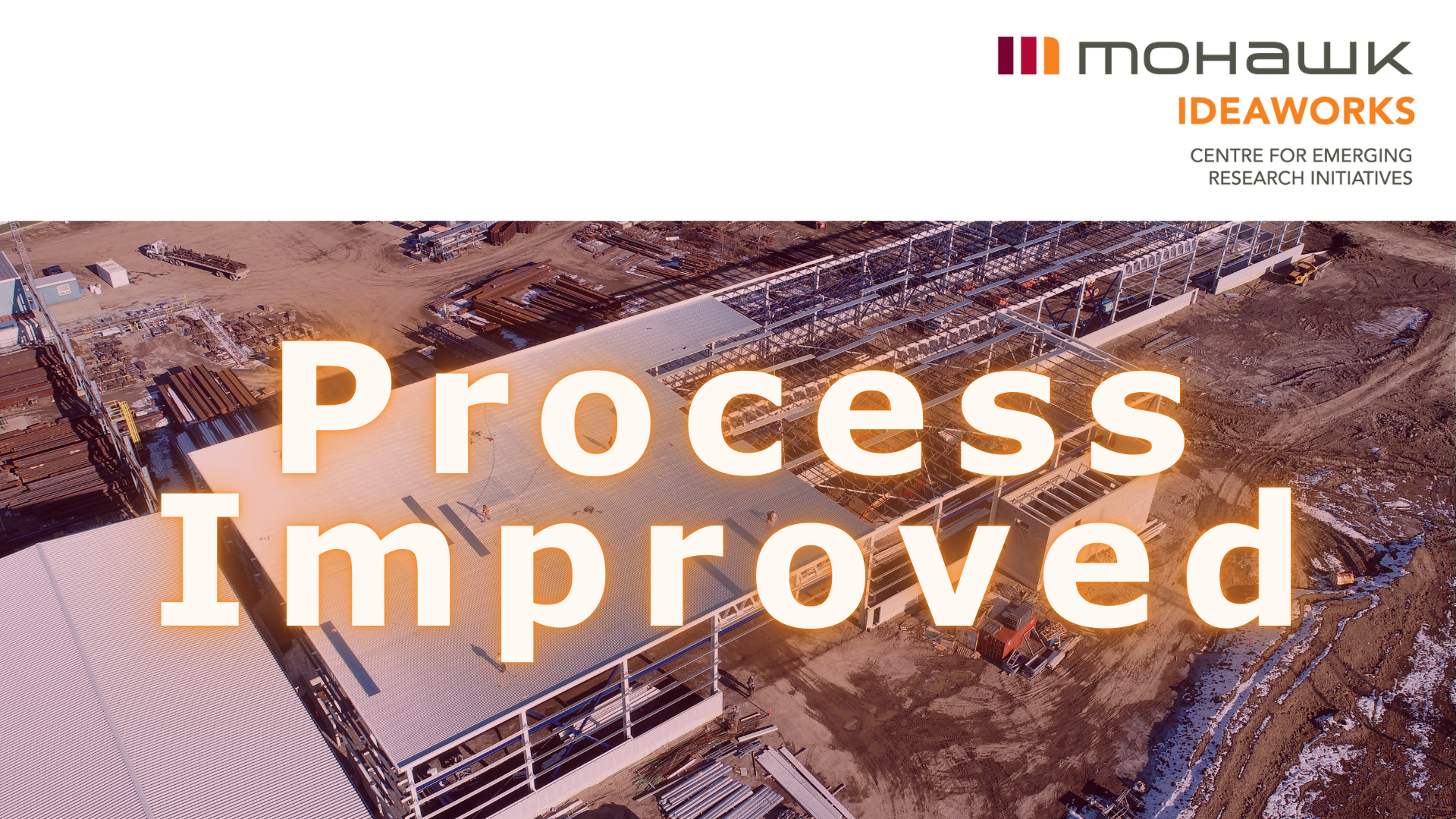
Case Studies
See What Our Passionate Team of Problem Solvers Can Do
Experience the magic of IDEAWORKS: developing key insights for our partners and providing solutions that address challenges head-on.
Our Partners


Uncrewed and Remote Sensing Innovation Centre (URSIC) Whitepaper Download Form
Lets build the future together
Book a meeting with the Uncrewed and Remote Sensing Innovation Centre (URSIC) and talk to our experts about your organization or project.